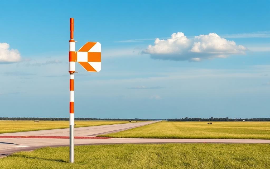
MCHD Heliport
ICAO 1CO9Heliport
MCHD Heliport is a heliport near Cortez in Colorado, United States. It is listed as ICAO 1CO9. The airport is located at 37.3630° / -108.5750° at an elevation of 1,875 m (6,153 ft). There is one runway, the longest measuring 28 m. The nearest airport is Cortez Municipal Airport, 8.2 km (5 mi) away. No scheduled service is recorded for this airfield.


Data
| ICAO code | 1CO9 |
|---|---|
| Local code | 1CO9 |
| Identifier | 1CO9 |
| Type | Heliport |
| City | Cortez |
| Region | Colorado |
| Country | United States |
| Coordinates | 37.36300, -108.57500 |
| Coordinates (deg/min/sec) | 37° 21′ 46.80″ N 108° 34′ 29.99″ W |
| Elevation | 1,875 m (6,153 ft) |
| Scheduled service | no |
Travel gear that fits
Automatically selected recommendations for a trip to MCHD Heliport – based on climate, location and airport type.
 Colorado travel guide
Routes, towns and day trips across Colorado.
View on Amazon- United States travel guide
The overview for your trip: regions, culture, getting around and practical tips for United States.
View on Amazon  United States road map
A printed map for planning – works without signal or battery.
View on Amazon Polarised sunglasses
Strong glare from sun, sand or snow – polarised lenses help.
View on Amazon Travel adapter A/B
The destination uses socket types A/B at 120 V – the right adapter keeps everything charged.
View on Amazon Gloves and beanie
For destinations with harsh winters – warm yet light in your bag.
View on Amazon
Advertising: as an Amazon Associate we earn from qualifying purchases. The price stays the same for you.
Runways
| Runway | Length | Width | Surface | Lighted |
|---|---|---|---|---|
H1 | 28 m | 28 m | Concrete | no |
Nearby airports
- CEZCortez Municipal Airport8.2 km (5 mi)
- CO27Tanner Field14 km (9 mi)
- CD33Mesa Verde Heliport14 km (9 mi)
- CD35Pleasant View Heliport27 km (17 mi)
- CD44Madden Peak Heliport38 km (23 mi)
- 8V6Dove Creek Airport52 km (33 mi)
- CD65Rico Heliport61 km (38 mi)
- CD36Egnar Heliport62 km (39 mi)
- CO46Mercy Regional Medical Center Heliport63 km (39 mi)
- US-5355Pussy Willow Spring Airstrip63 km (39 mi)
- 96NMNorthern Navajo Medical Center Heliport63 km (39 mi)
- CD11Mountain Bell/Durango Heliport63 km (39 mi)