Halter Ranch Airport
ICAO 89CASmall airfield
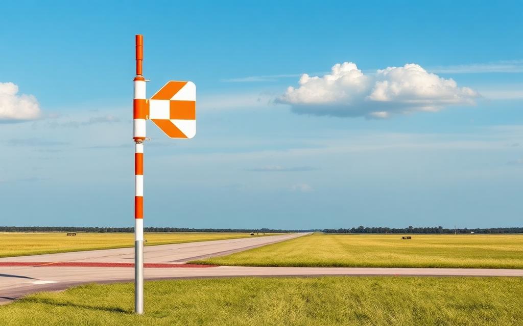
Halter Ranch Airport is a small airfield near Paso Robles in California, United States. It is listed as ICAO 89CA. The airport is located at 35.6443° / -120.8506° at an elevation of 454 m (1,488 ft). There is one runway, the longest measuring 1,022 m. The nearest airport is Oak Country Ranch Airport, 9.7 km (6 mi) away. No scheduled service is recorded for this airfield.


Data
| ICAO code | 89CA |
|---|---|
| Local code | 89CA |
| Identifier | US-1628 |
| Type | Small airfield |
| City | Paso Robles |
| Region | California |
| Country | United States |
| Coordinates | 35.64427, -120.85055 |
| Coordinates (deg/min/sec) | 35° 38′ 39.37″ N 120° 51′ 01.98″ W |
| Elevation | 454 m (1,488 ft) |
| Scheduled service | no |
Travel gear that fits
Automatically selected recommendations for a trip to Halter Ranch Airport – based on climate, location and airport type.
 California travel guide
Routes, towns and day trips across California.
View on Amazon- United States travel guide
The overview for your trip: regions, culture, getting around and practical tips for United States.
View on Amazon  California map
Detailed map for tours and trips in California.
View on Amazon Travel adapter A/B
The destination uses socket types A/B at 120 V – the right adapter keeps everything charged.
View on Amazon Polarised sunglasses
Strong glare from sun, sand or snow – polarised lenses help.
View on Amazon Spotting binoculars
Identify registrations and types from the fence – bright and handy.
View on Amazon
Advertising: as an Amazon Associate we earn from qualifying purchases. The price stays the same for you.
Runways
| Runway | Length | Width | Surface | Lighted |
|---|---|---|---|---|
4/22 | 1,022 m | 8 m | Asphalt | no |
Links
Nearby airports
- 33CLOak Country Ranch Airport9.7 km (6 mi)
- CA62McMillan Assault Strip11 km (7 mi)
- US-5741Twin Cities Community Hospital Heliport15 km (10 mi)
- 18CATwin Cities Community Hospital Heliport15 km (10 mi)
- KZ26Camp Roberts Army Heliport19 km (12 mi)
- PRBPaso Robles Municipal Airport20 km (13 mi)
- SYLRoberts Army Heliport21 km (13 mi)
- 66CARancho San Simeon Airport24 km (15 mi)
- US-2347Pianetta Winery Airstrip24 km (15 mi)
- 95CABonel Airport27 km (17 mi)
- US-0249Hearst San Simeon Airstrip32 km (20 mi)
- US-0248Santa Margarita Ranch Airport35 km (21 mi)