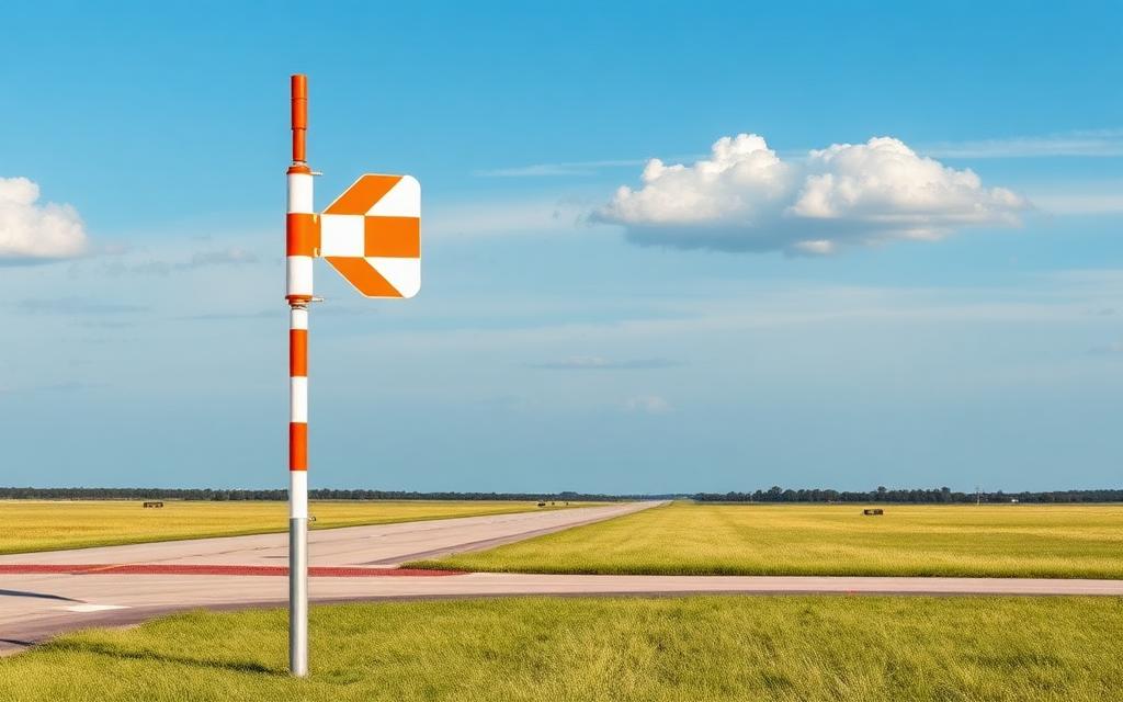
Meylor Field
ICAO 9NC9Small airfield
Meylor Field is a small airfield near Greensboro in North Carolina, United States. It is listed as ICAO 9NC9. The airport is located at 36.2091° / -79.8942° at an elevation of 277 m (910 ft). There is one runway, the longest measuring 457 m. The nearest airport is Greensboro North Airport, 5.1 km (3 mi) away. No scheduled service is recorded for this airfield.


Data
| ICAO code | 9NC9 |
|---|---|
| Local code | 9NC9 |
| Identifier | 9NC9 |
| Type | Small airfield |
| City | Greensboro |
| Region | North Carolina |
| Country | United States |
| Coordinates | 36.20909, -79.89418 |
| Coordinates (deg/min/sec) | 36° 12′ 32.71″ N 79° 53′ 39.06″ W |
| Elevation | 277 m (910 ft) |
| Scheduled service | no |
Travel gear that fits
Automatically selected recommendations for a trip to Meylor Field – based on climate, location and airport type.
 North Carolina travel guide
Routes, towns and day trips across North Carolina.
View on Amazon- United States travel guide
The overview for your trip: regions, culture, getting around and practical tips for United States.
View on Amazon  United States road map
A printed map for planning – works without signal or battery.
View on Amazon Travel adapter A/B
The destination uses socket types A/B at 120 V – the right adapter keeps everything charged.
View on Amazon Spotting binoculars
Identify registrations and types from the fence – bright and handy.
View on Amazon Polarised sunglasses
Strong glare from sun, sand or snow – polarised lenses help.
View on Amazon
Advertising: as an Amazon Associate we earn from qualifying purchases. The price stays the same for you.
Runways
| Runway | Length | Width | Surface | Lighted |
|---|---|---|---|---|
09/27 | 457 m | 30 m | Turf | no |
Nearby airports
- 29NRAtrium Health Wake Forest GSO Hospital Heliport7.7 km (5 mi)
- W88Air Harbor Airport9.1 km (6 mi)
- N83DS Butler Farm and Airfield10 km (6 mi)
- US-9105Meylor Landing13 km (8 mi)
- GSOPiedmont Triad International Airport13 km (8 mi)
- 54NRBethany Airport13 km (8 mi)
- NC37Mountain View Aerodrome16 km (10 mi)
- 0NC7Lindsay Airport20 km (12 mi)
- 6A5Warf Airport21 km (13 mi)
- N63Meadow Brook Field25 km (16 mi)
- KSIFRockingham County NC Shiloh Airport26 km (16 mi)
- 13NRDusenbury Field26 km (16 mi)