
Alta Airport
IATA ALFICAO ENATMedium airport
Alta Airport is a medium airport near Alta in Finnmark, Norway. It is listed as IATA ALF and ICAO ENAT. The airport is located at 69.9761° / 23.3717° at an elevation of 3 m (9 ft). There is one runway, the longest measuring 2,184 m. The nearest airport is Veslemoen Airstrip, 45 km (28 mi) away. The airport is served by scheduled flights.


Data
| IATA code | ALF |
|---|---|
| ICAO code | ENAT |
| Identifier | ENAT |
| Type | Medium airport |
| City | Alta |
| Region | Finnmark |
| Country | Norway |
| Coordinates | 69.97610, 23.37170 |
| Coordinates (deg/min/sec) | 69° 58′ 33.95″ N 23° 22′ 18.12″ E |
| Elevation | 3 m (9 ft) |
| Scheduled service | yes |
Travel gear that fits
Automatically selected recommendations for a trip to Alta Airport – based on climate, location and airport type.
 Alta travel guide
Sights, neighbourhoods and tips for Alta – ideal for your arrival.
View on Amazon Norway travel guide
The overview for your trip: regions, culture, getting around and practical tips for Norway.
View on Amazon Norwegian phrasebook
The essential phrases in Norwegian – for taxis, hotels and restaurants.
View on Amazon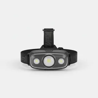 Headlamp
Remote places without street lighting – light on your head helps.
View on Amazon Travel adapter C/F
The destination uses socket types C/F at 230 V – the right adapter keeps everything charged.
View on Amazon Carry-on trolley
Hard-shell case in standard cabin size – fits the overhead bins of most scheduled flights.
View on Amazon
Advertising: as an Amazon Associate we earn from qualifying purchases. The price stays the same for you.
Runways
| Runway | Length | Width | Surface | Lighted |
|---|---|---|---|---|
11/29 | 2,184 m | 45 m | Asphalt | yes |
Links
Nearby airports
- NO-0079Veslemoen Airstrip45 km (28 mi)
- NO-0077Gairasmoen Airstrip61 km (38 mi)
- LKLLakselv Airport, Banak62 km (38 mi)
- HAAHasvik Airport73 km (46 mi)
- NO-0104Vuottašjávri sjøflyplass74 km (46 mi)
- NO-0080Ravnastua Airstrip79 km (49 mi)
- HFTHammerfest Airport79 km (49 mi)
- SOJSørkjosen Airport95 km (59 mi)
- NO-0078Maggi Beach Airstrip99 km (62 mi)
- ENKAKautokeino Airfield105 km (65 mi)
- EFEKKilpisjärvi Heliport145 km (90 mi)
- HVGHonningsvåg Airport, Valan150 km (93 mi)