Alejandro Roca Airport
Small airfield
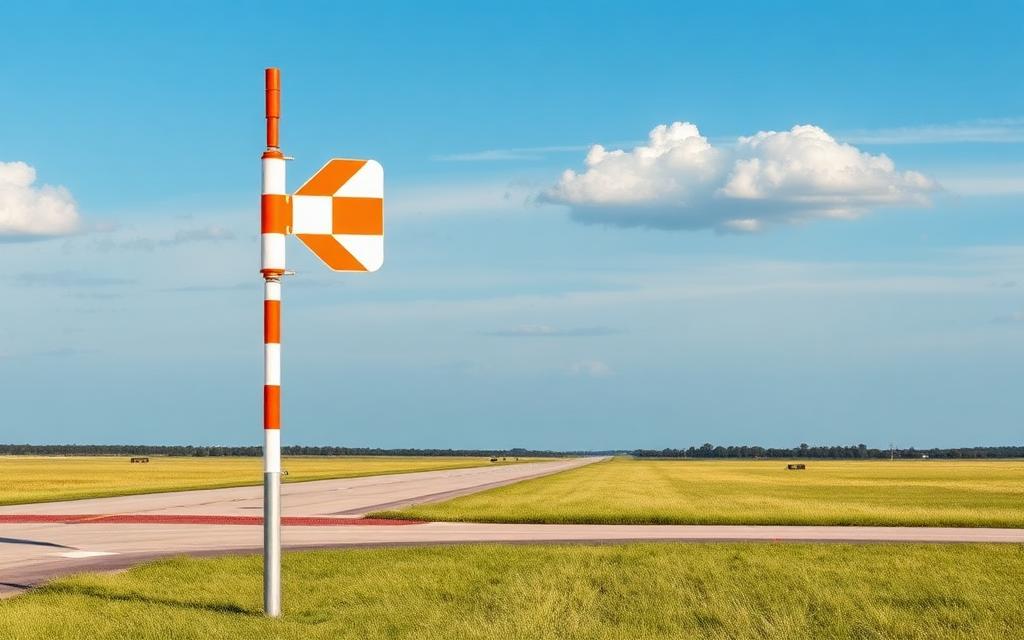
Alejandro Roca Airport is a small airfield near Alejandro Roca in Córdoba Province, Argentina. The airport is located at -33.3489° / -63.7300° at an elevation of 210 m (688 ft). There is one runway, the longest measuring 750 m. The nearest airport is L.A.D. Estancia 10 de Julio Airport, 22 km (13 mi) away. No scheduled service is recorded for this airfield.


Data
| Local code | ALR |
|---|---|
| Identifier | AR-0032 |
| Type | Small airfield |
| City | Alejandro Roca |
| Region | Córdoba Province |
| Country | Argentina |
| Coordinates | -33.34890, -63.73000 |
| Coordinates (deg/min/sec) | 33° 20′ 56.04″ S 63° 43′ 48.00″ W |
| Elevation | 210 m (688 ft) |
| Scheduled service | no |
Travel gear that fits
Automatically selected recommendations for a trip to Alejandro Roca Airport – based on climate, location and airport type.
 Córdoba Province travel guide
Routes, towns and day trips across Córdoba Province.
View on Amazon- Argentina travel guide
The overview for your trip: regions, culture, getting around and practical tips for Argentina.
View on Amazon  Spanish phrasebook
The essential phrases in Spanish – for taxis, hotels and restaurants.
View on Amazon Travel adapter I
The destination uses socket types I at 220 V – the right adapter keeps everything charged.
View on Amazon Spotting binoculars
Identify registrations and types from the fence – bright and handy.
View on Amazon Polarised sunglasses
Strong glare from sun, sand or snow – polarised lenses help.
View on Amazon
Advertising: as an Amazon Associate we earn from qualifying purchases. The price stays the same for you.
Runways
| Runway | Length | Width | Surface | Lighted |
|---|---|---|---|---|
18/36 | 750 m | 30 m | Grass | no |
Nearby airports
- AR-0776L.A.D. Estancia 10 de Julio Airport22 km (13 mi)
- AR-0778Estancia El Pericón Airport33 km (21 mi)
- AR-0434La Carlota Airport37 km (23 mi)
- AR-0532Casajus40 km (25 mi)
- AR-0604El Recuerdo S.R.L. Airport57 km (35 mi)
- RCUArea De Material Airport57 km (36 mi)
- SA17Rio Cuarto Aeroclub Airport60 km (37 mi)
- AR-0168General Deheza Airport67 km (42 mi)
- AR-0157Estindher Airport71 km (44 mi)
- AR-0171General Levalle Airport75 km (47 mi)
- AR-0234Laborde Airport81 km (50 mi)
- AR-0076Canals Airport83 km (52 mi)