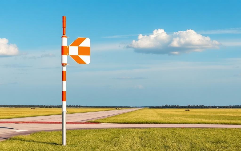
SCE Shaver Summit Heliport
ICAO CL93Heliport
SCE Shaver Summit Heliport is a heliport near Shaver Lake in California, United States. It is listed as ICAO CL93. The airport is located at 37.1638° / -119.2920° at an elevation of 1,754 m (5,755 ft). There is one runway, the longest measuring 23 m. The nearest airport is Big Creek Helistop, 5.4 km (3 mi) away. No scheduled service is recorded for this airfield.


Data
| ICAO code | CL93 |
|---|---|
| Local code | CL93 |
| Identifier | CL93 |
| Type | Heliport |
| City | Shaver Lake |
| Region | California |
| Country | United States |
| Coordinates | 37.16380, -119.29200 |
| Coordinates (deg/min/sec) | 37° 09′ 49.68″ N 119° 17′ 31.20″ W |
| Elevation | 1,754 m (5,755 ft) |
| Scheduled service | no |
Travel gear that fits
Automatically selected recommendations for a trip to SCE Shaver Summit Heliport – based on climate, location and airport type.
 California travel guide
Routes, towns and day trips across California.
View on Amazon- United States travel guide
The overview for your trip: regions, culture, getting around and practical tips for United States.
View on Amazon  United States photo book
Large-format photography of landscapes and cities in United States.
View on Amazon Polarised sunglasses
Strong glare from sun, sand or snow – polarised lenses help.
View on Amazon Travel adapter A/B
The destination uses socket types A/B at 120 V – the right adapter keeps everything charged.
View on Amazon Hiking shoes
Mountainous surroundings near the airport – solid footwear pays off.
View on Amazon
Advertising: as an Amazon Associate we earn from qualifying purchases. The price stays the same for you.
Runways
| Runway | Length | Width | Surface | Lighted |
|---|---|---|---|---|
H1 | 23 m | 23 m | GRVL | no |
Nearby airports
- CN28Big Creek Helistop5.4 km (3 mi)
- CL79SCE Tiffany Pines Heliport5.5 km (3 mi)
- US-5250Sierra National Forest Huntington Heliport14 km (9 mi)
- US-6979Italian Bar Airport15 km (9 mi)
- US-9304Buckeye Heliport15 km (9 mi)
- 5CL9Table Mountain Field19 km (12 mi)
- CL91Auberry Hydro Service Center Heliport20 km (13 mi)
- US-3577Topham Ranch-Auberry Private Airport21 km (13 mi)
- US-5251White Bark Helipad at Kaiser Pass23 km (14 mi)
- 7CA5Balch Camp Heliport32 km (20 mi)
- US-7542Chukchansi Gold Resort & Casino Heliport37 km (23 mi)
- CL24Kindsvater Ranch Airport40 km (25 mi)