
Diffa Airport
ICAO DRZFSmall airfield
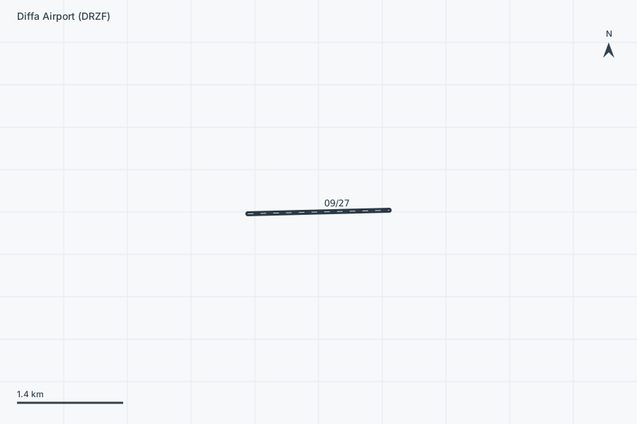
Diffa Airport is a small airfield near Diffa in Diffa Region, Niger. It is listed as ICAO DRZF. The airport is located at 13.3729° / 12.6267° at an elevation of 303 m (994 ft). There is one runway, the longest measuring 1,800 m. The nearest airport is Maine-Soroa Airport, 67 km (42 mi) away. No scheduled service is recorded for this airfield.


Data
| ICAO code | DRZF |
|---|---|
| Identifier | DRZF |
| Type | Small airfield |
| City | Diffa |
| Region | Diffa Region |
| Country | Niger |
| Coordinates | 13.37290, 12.62670 |
| Coordinates (deg/min/sec) | 13° 22′ 22.44″ N 12° 37′ 36.12″ E |
| Elevation | 303 m (994 ft) |
| Scheduled service | no |
Travel gear that fits
Automatically selected recommendations for a trip to Diffa Airport – based on climate, location and airport type.
 Filter water bottle
Where tap water is risky: a bottle with a built-in filter.
View on Amazon Sunscreen SPF 50
High UV exposure at the destination – sun protection belongs in your cabin bag.
View on Amazon Packable sun hat
Light head protection for hot, sun-drenched regions.
View on Amazon Money belt
Documents and cash close to your body – discreet under your clothing.
View on Amazon French phrasebook
French is the main language at this destination – a phrasebook helps day to day.
View on Amazon Travel adapter C/F
The destination uses socket types C/F at 230 V – the right adapter keeps everything charged.
View on Amazon
Advertising: as an Amazon Associate we earn from qualifying purchases. The price stays the same for you.
Runways
| Runway | Length | Width | Surface | Lighted |
|---|---|---|---|---|
09/27 | 1,800 m | 30 m | Asphalt | no |