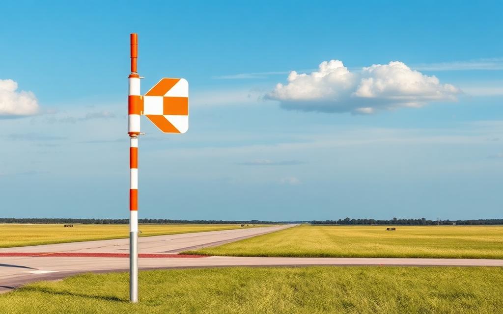
Ottobrunn Heliport
ICAO EDMRHeliport
Ottobrunn Heliport is a heliport near Taufkirchen in Bavaria, Germany. It is listed as ICAO EDMR. The airport is located at 48.0481° / 11.6537° at an elevation of 558 m (1,831 ft). The nearest airport is Fliegerhorst Neubiberg, 3.0 km (2 mi) away. No scheduled service is recorded for this airfield.


Data
| ICAO code | EDMR |
|---|---|
| Identifier | EDMR |
| Type | Heliport |
| City | Taufkirchen |
| Region | Bavaria |
| Country | Germany |
| Coordinates | 48.04813, 11.65367 |
| Coordinates (deg/min/sec) | 48° 02′ 53.27″ N 11° 39′ 13.21″ E |
| Elevation | 558 m (1,831 ft) |
| Scheduled service | no |
Travel gear that fits
Automatically selected recommendations for a trip to Ottobrunn Heliport – based on climate, location and airport type.
 Bavaria travel guide
Routes, towns and day trips across Bavaria.
View on Amazon- Germany travel guide
The overview for your trip: regions, culture, getting around and practical tips for Germany.
View on Amazon  German phrasebook
The essential phrases in German – for taxis, hotels and restaurants.
View on Amazon Travel adapter C/F
The destination uses socket types C/F at 230 V – the right adapter keeps everything charged.
View on Amazon Packable rain jacket
Changeable weather at your destination – windproof, water-repellent and packs down small.
View on Amazon Airband scanner
Listen in on tower and approach frequencies – a classic among aviation fans.
View on Amazon
Advertising: as an Amazon Associate we earn from qualifying purchases. The price stays the same for you.
Runways
No runways are recorded for this airfield.
Nearby airports
- DE-0468ADAC Air Rescue Center Heliport (Christoph 1)8.0 km (5 mi)
- DE-0474München South Surgical Hospital Heliport9.9 km (6 mi)
- DE-0872Haar Hospital Heliport10 km (6 mi)
- DE-0471Rechts der Isar University Hospital Heliport11 km (7 mi)
- DE-0475Aussenlandeplatz Innenstadtkliniken Goetheplatz12 km (7 mi)
- DE-0472München Bogenhausen Hospital Heliport12 km (7 mi)
- DE-0473Deutsches Herzzentrum München Heliport14 km (9 mi)
- DE-0418DRF Air Rescue München Heliport16 km (10 mi)
- DE-0436Heimatshofen Private Airstrip UL16 km (10 mi)
- DE-0644Dritter Orden University Hospital Heliport17 km (11 mi)
- DE-0590Wangen bei Starnberg Airfield18 km (11 mi)
- DE-0480Sollach Airstrip18 km (11 mi)