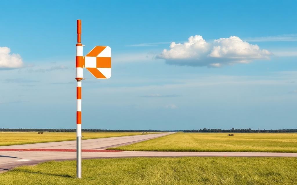
Ringebu Airfield Frya
ICAO ENRISmall airfield
Ringebu Airfield Frya is a small airfield near Frya in Innlandet, Norway. It is listed as ICAO ENRI. The airport is located at 61.5454° / 10.0616° at an elevation of 174 m (571 ft). There is one runway, the longest measuring 800 m. The nearest airport is Wadahl, 15 km (9 mi) away. No scheduled service is recorded for this airfield.


Data
| ICAO code | ENRI |
|---|---|
| Identifier | ENRI |
| Type | Small airfield |
| City | Frya |
| Region | Innlandet |
| Country | Norway |
| Coordinates | 61.54544, 10.06159 |
| Coordinates (deg/min/sec) | 61° 32′ 43.59″ N 10° 03′ 41.72″ E |
| Elevation | 174 m (571 ft) |
| Scheduled service | no |
Travel gear that fits
Automatically selected recommendations for a trip to Ringebu Airfield Frya – based on climate, location and airport type.
 Innlandet travel guide
Routes, towns and day trips across Innlandet.
View on Amazon- Norway travel guide
The overview for your trip: regions, culture, getting around and practical tips for Norway.
View on Amazon  Norwegian phrasebook
The essential phrases in Norwegian – for taxis, hotels and restaurants.
View on Amazon Travel adapter C/F
The destination uses socket types C/F at 230 V – the right adapter keeps everything charged.
View on Amazon Thermal base layer
Cold destination: merino keeps you warm even when damp.
View on Amazon Spotting binoculars
Identify registrations and types from the fence – bright and handy.
View on Amazon
Advertising: as an Amazon Associate we earn from qualifying purchases. The price stays the same for you.
Runways
| Runway | Length | Width | Surface | Lighted |
|---|---|---|---|---|
10/28 | 800 m | 18 m | Asphalt | no |
Nearby airports
- NO-0020Wadahl15 km (9 mi)
- NO-0021Atna46 km (28 mi)
- ENLHLillehammer Heliport, Innlandet Hospital53 km (33 mi)
- NO-0024Mesnali Airfield61 km (38 mi)
- ENGNFolldal Grimsmoe Airfield64 km (40 mi)
- ENFGFagernes Airport, Leirin72 km (45 mi)
- NO-0091Hjerkinn flyplass76 km (47 mi)
- ENDBDombås Heliport, Brunshaugen76 km (47 mi)
- NO-0105Fagernes flyplass - Strandefjorden77 km (48 mi)
- NO-0094Blestergrende Airstrip79 km (49 mi)
- ENDODokka Thomlevold Airfield80 km (49 mi)
- NO-0023Rena Airfield Landsørkje81 km (50 mi)