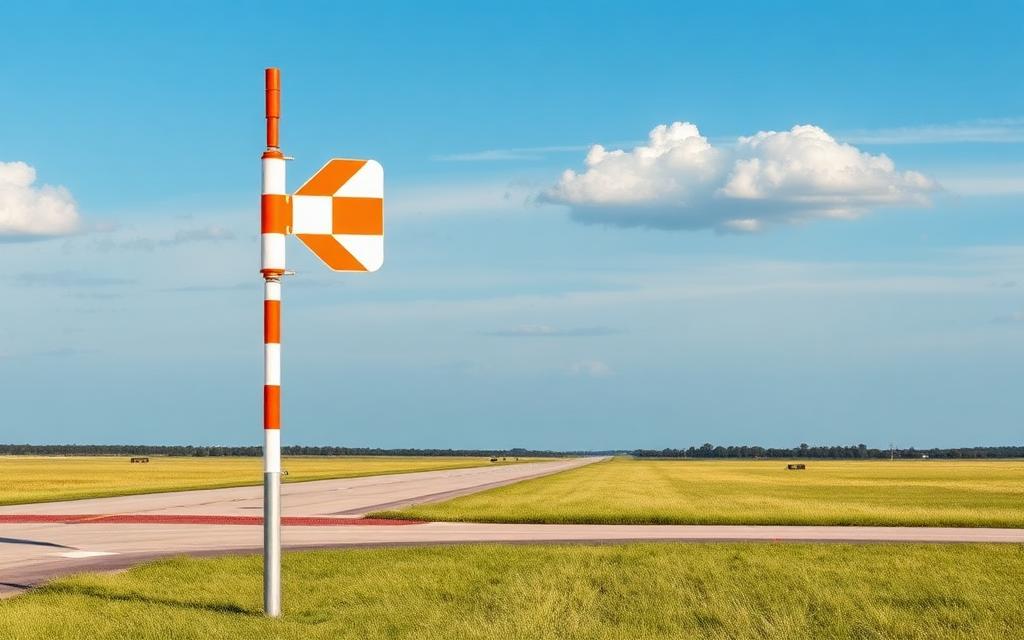
Impinge Airport
ICAO FVIPSmall airfield
Impinge Airport is a small airfield near Impinge Ranch in Mashonaland Central Province, Zimbabwe. It is listed as ICAO FVIP. The airport is located at -16.9071° / 30.8003° at an elevation of 1,463 m (4,800 ft). The nearest airport is Dawsons Airport, 15 km (9 mi) away. No scheduled service is recorded for this airfield.


Data
| ICAO code | FVIP |
|---|---|
| Identifier | FVIP |
| Type | Small airfield |
| City | Impinge Ranch |
| Region | Mashonaland Central Province |
| Country | Zimbabwe |
| Coordinates | -16.90710, 30.80030 |
| Coordinates (deg/min/sec) | 16° 54′ 25.56″ S 30° 48′ 01.08″ E |
| Elevation | 1,463 m (4,800 ft) |
| Scheduled service | no |
Travel gear that fits
Automatically selected recommendations for a trip to Impinge Airport – based on climate, location and airport type.
 Mashonaland Central Province travel guide
Routes, towns and day trips across Mashonaland Central Province.
View on Amazon- Zimbabwe travel guide
The overview for your trip: regions, culture, getting around and practical tips for Zimbabwe.
View on Amazon  Zimbabwe cookbook
The country's cuisine to cook at home – before or after the trip.
View on Amazon Polarised sunglasses
Strong glare from sun, sand or snow – polarised lenses help.
View on Amazon Travel adapter G
The destination uses socket types G at 230 V – the right adapter keeps everything charged.
View on Amazon Insect repellent
Important in tropical regions – protection against bites and transmitted diseases.
View on Amazon
Advertising: as an Amazon Associate we earn from qualifying purchases. The price stays the same for you.
Runways
No runways are recorded for this airfield.
Nearby airports
- FVDADawsons Airport15 km (9 mi)
- FVSYSiyalima Airport34 km (21 mi)
- FVCNCentenary Airport39 km (24 mi)
- FVYBYomba Airport43 km (27 mi)
- FVGBGombera Airport47 km (29 mi)
- FVAEBraebourne Airport53 km (33 mi)
- FV77Mhangura Airport59 km (37 mi)
- FVCECelina Airport68 km (42 mi)
- FVCCC.C. Strip79 km (49 mi)
- FVMDMount Darwin Airport82 km (51 mi)
- FVMBMashumbi Airport86 km (53 mi)
- FVCPCharles Prince Airport95 km (59 mi)