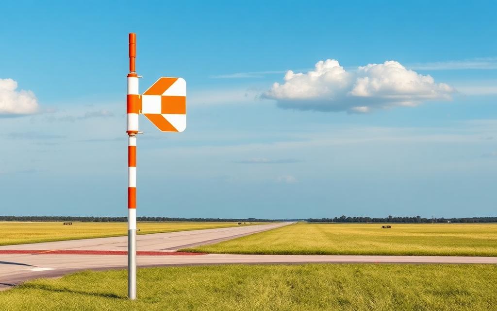
Ilford Airport
IATA ILFICAO CZBDSmall airfield
Ilford Airport is a small airfield near Ilford in Manitoba, Canada. It is listed as IATA ILF and ICAO CZBD. The airport is located at 56.0516° / -95.6188° at an elevation of 196 m (642 ft). There is one runway, the longest measuring 914 m. The nearest airport is York Landing Airport, 30 km (18 mi) away. The airport is served by scheduled flights.


Data
| IATA code | ILF |
|---|---|
| ICAO code | CZBD |
| Identifier | CZBD |
| Type | Small airfield |
| City | Ilford |
| Region | Manitoba |
| Country | Canada |
| Coordinates | 56.05162, -95.61882 |
| Coordinates (deg/min/sec) | 56° 03′ 05.84″ N 95° 37′ 07.75″ W |
| Elevation | 196 m (642 ft) |
| Scheduled service | yes |
Travel gear that fits
Automatically selected recommendations for a trip to Ilford Airport – based on climate, location and airport type.
 Ilford travel guide
Sights, neighbourhoods and tips for Ilford – ideal for your arrival.
View on Amazon Canada travel guide
The overview for your trip: regions, culture, getting around and practical tips for Canada.
View on Amazon Canada photo book
Large-format photography of landscapes and cities in Canada.
View on Amazon Travel adapter A/B
The destination uses socket types A/B at 120 V – the right adapter keeps everything charged.
View on Amazon Thermal base layer
Cold destination: merino keeps you warm even when damp.
View on Amazon Spotting binoculars
Identify registrations and types from the fence – bright and handy.
View on Amazon
Advertising: as an Amazon Associate we earn from qualifying purchases. The price stays the same for you.
Runways
| Runway | Length | Width | Surface | Lighted |
|---|---|---|---|---|
09/27 | 914 m | 23 m | CRUSHED ROCK | no |
Links
Nearby airports
- ZACYork Landing Airport29 km (18 mi)
- CA-0736Keeyask Airstrip39 km (24 mi)
- KESKelsey Airport55 km (34 mi)
- YGXGillam Airport66 km (41 mi)
- CJP8Gillam Seaplane Base68 km (42 mi)
- CJN7Little Churchill River / Dunlop's Fly-In Lodge Airport70 km (44 mi)
- CDP3Dennis G Punches Field85 km (53 mi)
- PIWPikwitonei Airport109 km (68 mi)
- YOHOxford House Airport126 km (78 mi)
- YKEKnee Lake Airport137 km (85 mi)
- CKW8Knee Lake Seaplane Base139 km (86 mi)
- CKD6Thompson Seaplane Base142 km (88 mi)