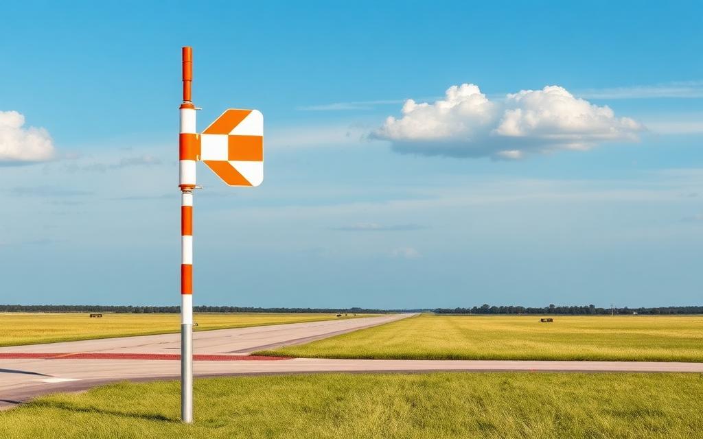
Khuldo Heliport
Heliport
Khuldo Heliport is a heliport near Khuldo in Ladakh, India. The airport is located at 32.7730° / 78.9856° at an elevation of 4,261 m (13,980 ft). The nearest airport is Fukche Advanced Landing Ground, 28 km (17 mi) away. No scheduled service is recorded for this airfield.


Data
| Identifier | IN-0331 |
|---|---|
| Type | Heliport |
| City | Khuldo |
| Region | Ladakh |
| Country | India |
| Coordinates | 32.77295, 78.98563 |
| Coordinates (deg/min/sec) | 32° 46′ 22.62″ N 78° 59′ 08.27″ E |
| Elevation | 4,261 m (13,980 ft) |
| Scheduled service | no |
Travel gear that fits
Automatically selected recommendations for a trip to Khuldo Heliport – based on climate, location and airport type.
 Ladakh travel guide
Routes, towns and day trips across Ladakh.
View on Amazon- India travel guide
The overview for your trip: regions, culture, getting around and practical tips for India.
View on Amazon  Hindi phrasebook
The essential phrases in Hindi – for taxis, hotels and restaurants.
View on Amazon Travel adapter D/M
The destination uses socket types D/M at 230 V – the right adapter keeps everything charged.
View on Amazon Gloves and beanie
For destinations with harsh winters – warm yet light in your bag.
View on Amazon Hiking shoes
Mountainous surroundings near the airport – solid footwear pays off.
View on Amazon
Advertising: as an Amazon Associate we earn from qualifying purchases. The price stays the same for you.
Runways
No runways are recorded for this airfield.
Nearby airports
- VI66Fukche Advanced Landing Ground28 km (17 mi)
- CN-0375Demchok East Heliport45 km (28 mi)
- IN-0302Nyoma Airstrip50 km (31 mi)
- IN-0278Nyoma Heliport57 km (35 mi)
- IN-0330Kaurik Heliport81 km (50 mi)
- IN-0279Chushul Airstrip90 km (56 mi)
- IN-0318Chumathang Heliport91 km (56 mi)
- IN-0329Chango Heliport97 km (60 mi)
- IN-0332Nako Heliport104 km (65 mi)
- CN-0338Nyikogli Shiquanhe Heliport106 km (66 mi)
- CN-0156Rimuchang Heliport111 km (69 mi)
- IN-0317Kiari Heliport112 km (69 mi)