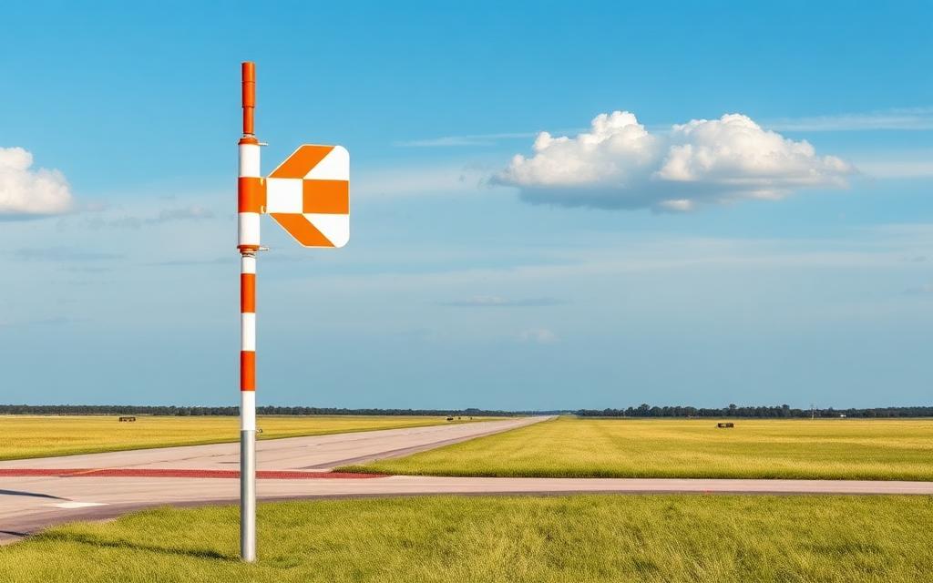
Alpine County Airport
ICAO KM45Small airfield
Alpine County Airport is a small airfield near Markleeville in California, United States. It is listed as ICAO KM45. The airport is located at 38.7347° / -119.7670° at an elevation of 1,788 m (5,867 ft). There is one runway, the longest measuring 1,354 m. The nearest airport is Markleeville Heliport, 4.9 km (3 mi) away. No scheduled service is recorded for this airfield.


Data
| ICAO code | KM45 |
|---|---|
| Local code | M45 |
| Identifier | KM45 |
| Type | Small airfield |
| City | Markleeville |
| Region | California |
| Country | United States |
| Coordinates | 38.73470, -119.76700 |
| Coordinates (deg/min/sec) | 38° 44′ 04.92″ N 119° 46′ 01.19″ W |
| Elevation | 1,788 m (5,867 ft) |
| Scheduled service | no |
Travel gear that fits
Automatically selected recommendations for a trip to Alpine County Airport – based on climate, location and airport type.
 California travel guide
Routes, towns and day trips across California.
View on Amazon- United States travel guide
The overview for your trip: regions, culture, getting around and practical tips for United States.
View on Amazon  United States photo book
Large-format photography of landscapes and cities in United States.
View on Amazon Travel adapter A/B
The destination uses socket types A/B at 120 V – the right adapter keeps everything charged.
View on Amazon Spotting binoculars
Identify registrations and types from the fence – bright and handy.
View on Amazon Gloves and beanie
For destinations with harsh winters – warm yet light in your bag.
View on Amazon
Advertising: as an Amazon Associate we earn from qualifying purchases. The price stays the same for you.
Runways
| Runway | Length | Width | Surface | Lighted |
|---|---|---|---|---|
17/35 | 1,354 m | 15 m | Asphalt | no |
Links
Nearby airports
- US-4502Markleeville Heliport4.9 km (3 mi)
- US-9268Holbrook Junction EMS Helipad18 km (11 mi)
- NV55Pinenut Airport21 km (13 mi)
- US-4503Carson Valley Medical Center Gardnerville Heliport21 km (13 mi)
- US-2247Topaz Overlook Airstrip21 km (13 mi)
- US-2248Bald Mountain (High Boy) Airstrip22 km (14 mi)
- US-2250Washoe Ranches Airstrip25 km (16 mi)
- 43NVTopaz Ranch Airport26 km (16 mi)
- TVLLake Tahoe Airport27 km (16 mi)
- US-2249Tailwheel Ridge Airstrip28 km (17 mi)
- CA43Barton Memorial Hospital Heliport28 km (17 mi)
- 30NVLZ-52 Heliport29 km (18 mi)