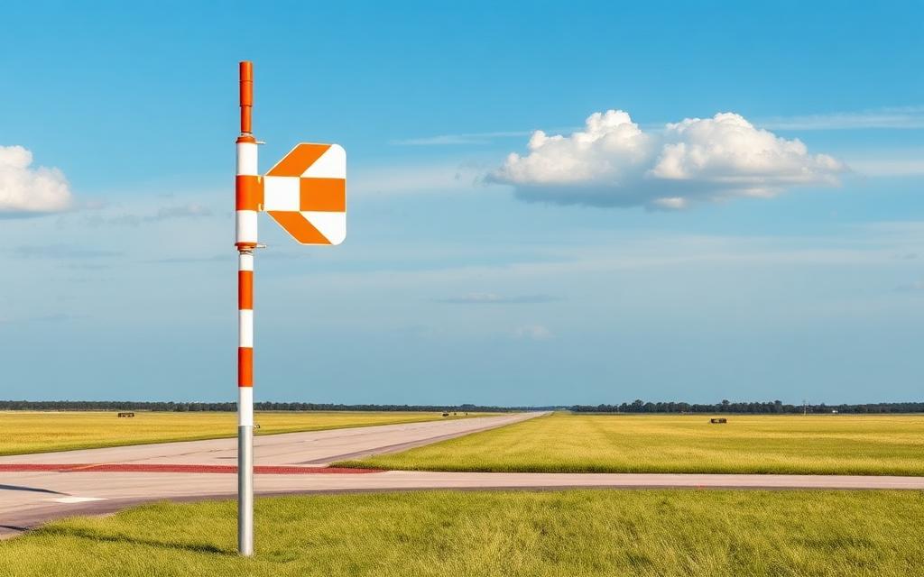
Christman Airfield
ICAO KO65Small airfield
Christman Airfield is a small airfield near Okeene in Oklahoma, United States. It is listed as ICAO KO65. The airport is located at 36.1125° / -98.3087° at an elevation of 367 m (1,205 ft). There is one runway, the longest measuring 914 m. The nearest airport is Lamle Airport, 5.2 km (3 mi) away. No scheduled service is recorded for this airfield.


Data
| ICAO code | KO65 |
|---|---|
| Local code | O65 |
| Identifier | KO65 |
| Type | Small airfield |
| City | Okeene |
| Region | Oklahoma |
| Country | United States |
| Coordinates | 36.11250, -98.30870 |
| Coordinates (deg/min/sec) | 36° 06′ 45.00″ N 98° 18′ 31.32″ W |
| Elevation | 367 m (1,205 ft) |
| Scheduled service | no |
Travel gear that fits
Automatically selected recommendations for a trip to Christman Airfield – based on climate, location and airport type.
 Oklahoma travel guide
Routes, towns and day trips across Oklahoma.
View on Amazon- United States travel guide
The overview for your trip: regions, culture, getting around and practical tips for United States.
View on Amazon  United States cookbook
The country's cuisine to cook at home – before or after the trip.
View on Amazon Travel adapter A/B
The destination uses socket types A/B at 120 V – the right adapter keeps everything charged.
View on Amazon Spotting binoculars
Identify registrations and types from the fence – bright and handy.
View on Amazon Polarised sunglasses
Strong glare from sun, sand or snow – polarised lenses help.
View on Amazon
Advertising: as an Amazon Associate we earn from qualifying purchases. The price stays the same for you.
Runways
| Runway | Length | Width | Surface | Lighted |
|---|---|---|---|---|
17/35 | 914 m | 18 m | Asphalt | no |
Nearby airports
- 8OK0Lamle Airport5.2 km (3 mi)
- K6K4Fairview Municipal Airport25 km (15 mi)
- US-5827Metz Landing Strip29 km (18 mi)
- KJWGWatonga Regional Airport29 km (18 mi)
- US-9057Mercy Hospital Watonga Heliport31 km (19 mi)
- US-1197Johnson Field31 km (19 mi)
- 4O7Decker Field31 km (19 mi)
- US-0667Sheridan Field32 km (20 mi)
- OK51Enix Boys Airport33 km (21 mi)
- OL25Eagle Chief Airport35 km (22 mi)
- US-1259Woods Acres Airport36 km (23 mi)
- US-0611Haymaker Airport40 km (25 mi)