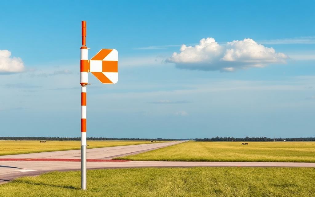
Sanostee Airport
ICAO NM27Small airfield
Sanostee Airport is a small airfield near Gallup in New Mexico, United States. It is listed as ICAO NM27. The airport is located at 36.4225° / -108.8610° at an elevation of 1,814 m (5,950 ft). There is one runway, the longest measuring 1,067 m. The nearest airport is Red Valley Airport, 28 km (18 mi) away. No scheduled service is recorded for this airfield.


Data
| ICAO code | NM27 |
|---|---|
| Local code | NM27 |
| Identifier | NM27 |
| Type | Small airfield |
| City | Gallup |
| Region | New Mexico |
| Country | United States |
| Coordinates | 36.42250, -108.86100 |
| Coordinates (deg/min/sec) | 36° 25′ 21.00″ N 108° 51′ 39.60″ W |
| Elevation | 1,814 m (5,950 ft) |
| Scheduled service | no |
Travel gear that fits
Automatically selected recommendations for a trip to Sanostee Airport – based on climate, location and airport type.
 New Mexico travel guide
Routes, towns and day trips across New Mexico.
View on Amazon- United States travel guide
The overview for your trip: regions, culture, getting around and practical tips for United States.
View on Amazon  United States photo book
Large-format photography of landscapes and cities in United States.
View on Amazon Polarised sunglasses
Strong glare from sun, sand or snow – polarised lenses help.
View on Amazon Travel adapter A/B
The destination uses socket types A/B at 120 V – the right adapter keeps everything charged.
View on Amazon Hiking shoes
Mountainous surroundings near the airport – solid footwear pays off.
View on Amazon
Advertising: as an Amazon Associate we earn from qualifying purchases. The price stays the same for you.
Runways
| Runway | Length | Width | Surface | Lighted |
|---|---|---|---|---|
02/20 | 1,067 m | 15 m | Dirt | no |
Nearby airports
- K5V5Shiprock Airstrip34 km (21 mi)
- 96NMNorthern Navajo Medical Center Heliport45 km (28 mi)
- NM62Sjrmc Heliport67 km (41 mi)
- FMNFour Corners Regional Airport67 km (41 mi)
- US-3505La Vida Mission Landing Strip70 km (44 mi)
- KE91Chinle Municipal Airport73 km (45 mi)
- US-8691Exceptional Community Hospital Heliport73 km (45 mi)
- US-3780Four Corners Regional Health Center Heliport74 km (46 mi)
- US-8577Fort Defiance Indian Hospital Heliport76 km (47 mi)
- 49AZRock Point Airport76 km (47 mi)
- US-5284Boundary Butte Mesa Airport86 km (53 mi)
- KN19Aztec Municipal Airport87 km (54 mi)