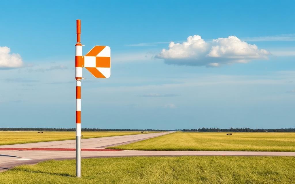
H 310 Heliport
ICAO RK94Heliport
H 310 Heliport is a heliport near Evenreach in Gyeonggi-do (Gyeonggi Province), South Korea. It is listed as ICAO RK94. The airport is located at 37.9959° / 127.5041° at an elevation of 1,468 m (4,816 ft). The nearest airport is C-309 Heliport, 0.0 km (0 mi) away. No scheduled service is recorded for this airfield.


Data
| ICAO code | RK94 |
|---|---|
| Local code | RK94 |
| Identifier | RK94 |
| Type | Heliport |
| City | Evenreach |
| Region | Gyeonggi-do (Gyeonggi Province) |
| Country | South Korea |
| Coordinates | 37.99591, 127.50409 |
| Coordinates (deg/min/sec) | 37° 59′ 45.27″ N 127° 30′ 14.71″ E |
| Elevation | 1,468 m (4,816 ft) |
| Scheduled service | no |
Travel gear that fits
Automatically selected recommendations for a trip to H 310 Heliport – based on climate, location and airport type.
 Gyeonggi-do travel guide
Routes, towns and day trips across Gyeonggi-do.
View on Amazon- South Korea travel guide
The overview for your trip: regions, culture, getting around and practical tips for South Korea.
View on Amazon  Korean phrasebook
The essential phrases in Korean – for taxis, hotels and restaurants.
View on Amazon Polarised sunglasses
Strong glare from sun, sand or snow – polarised lenses help.
View on Amazon Travel adapter A/B
The destination uses socket types A/B at 120 V – the right adapter keeps everything charged.
View on Amazon Gloves and beanie
For destinations with harsh winters – warm yet light in your bag.
View on Amazon
Advertising: as an Amazon Associate we earn from qualifying purchases. The price stays the same for you.
Runways
No runways are recorded for this airfield.
Nearby airports
- KR-0061C-309 Heliport0.0 km (0 mi)
- RK79C-328 Heliport6.8 km (4 mi)
- RK16G-312 Airport9.0 km (6 mi)
- RK14Idong Airport (G-231)12 km (8 mi)
- RK7NC 245 Heliport13 km (8 mi)
- RK75C-254 Heliport14 km (8 mi)
- RK3LC 335 Heliport14 km (9 mi)
- KR-0530Jangam-ri Heliport15 km (9 mi)
- KR-0037C-326 Heliport15 km (10 mi)
- RK74C 253 Heliport15 km (10 mi)
- RK2YC 265 Heliport16 km (10 mi)
- KR-0535Nightmare Range Heliport16 km (10 mi)