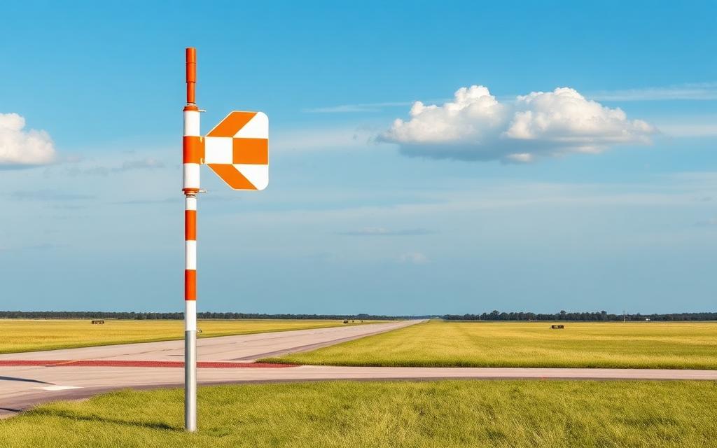
Roso Airport
ICAO SWNWSmall airfield
Roso Airport is a small airfield near Aceguá in Rio Grande do Sul, Brazil. It is listed as ICAO SWNW. The airport is located at -31.7344° / -54.0892° at an elevation of 165 m (541 ft). There is one runway, the longest measuring 800 m. The nearest airport is Los Alamos Airport, 18 km (11 mi) away. No scheduled service is recorded for this airfield.


Data
| ICAO code | SWNW |
|---|---|
| Local code | RS0128 |
| Identifier | SIAP |
| Type | Small airfield |
| City | Aceguá |
| Region | Rio Grande do Sul |
| Country | Brazil |
| Coordinates | -31.73442, -54.08919 |
| Coordinates (deg/min/sec) | 31° 44′ 03.91″ S 54° 05′ 21.07″ W |
| Elevation | 165 m (541 ft) |
| Scheduled service | no |
Travel gear that fits
Automatically selected recommendations for a trip to Roso Airport – based on climate, location and airport type.
 Rio Grande do Sul travel guide
Routes, towns and day trips across Rio Grande do Sul.
View on Amazon- Brazil travel guide
The overview for your trip: regions, culture, getting around and practical tips for Brazil.
View on Amazon  Portuguese phrasebook
The essential phrases in Portuguese – for taxis, hotels and restaurants.
View on Amazon Travel adapter C/N
The destination uses socket types C/N at 127 V – the right adapter keeps everything charged.
View on Amazon Spotting binoculars
Identify registrations and types from the fence – bright and handy.
View on Amazon Sunscreen SPF 50
High UV exposure at the destination – sun protection belongs in your cabin bag.
View on Amazon
Advertising: as an Amazon Associate we earn from qualifying purchases. The price stays the same for you.
Runways
| Runway | Length | Width | Surface | Lighted |
|---|---|---|---|---|
07/25 | 800 m | 18 m | Asphalt | no |
4/22 closed | 780 m | 23 m | Asphalt | no |
Nearby airports
- UY-0023Los Alamos Airport18 km (11 mi)
- BGXComandante Gustavo Kraemer Airport38 km (24 mi)
- SSCEAeroclube de Bagé45 km (28 mi)
- BR-2938Candiota Airport46 km (29 mi)
- VCHVichadero Airport47 km (29 mi)
- BR-2738Aeromis Airport50 km (31 mi)
- UY-0026Estancia Don Tomás Airstrip55 km (34 mi)
- SDR7CMPC HF São Manoel Heliport66 km (41 mi)
- MLZCerro Largo International Airport68 km (42 mi)
- SIK7Estância Bela Vista Airport69 km (43 mi)
- SSFCSafra Airport94 km (58 mi)
- BR-2976Refúgio Airport98 km (61 mi)