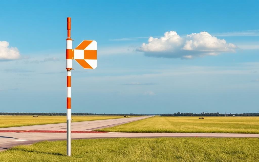
Seward Airport
IATA SWDICAO PAWDMedium airport
Seward Airport is a medium airport near Seward in Alaska, United States. It is listed as IATA SWD and ICAO PAWD. The airport is located at 60.1305° / -149.4186° at an elevation of 7 m (22 ft). There are 2 runways, the longest measuring 1,295 m. The nearest airport is Providence Seward Medical Center Heliport, 3.1 km (2 mi) away. No scheduled service is recorded for this airfield.


Data
| IATA code | SWD |
|---|---|
| ICAO code | PAWD |
| Local code | SWD |
| Identifier | PAWD |
| Type | Medium airport |
| City | Seward |
| Region | Alaska |
| Country | United States |
| Coordinates | 60.13048, -149.41861 |
| Coordinates (deg/min/sec) | 60° 07′ 49.72″ N 149° 25′ 07.00″ W |
| Elevation | 7 m (22 ft) |
| Scheduled service | no |
Travel gear that fits
Automatically selected recommendations for a trip to Seward Airport – based on climate, location and airport type.
 Seward travel guide
Sights, neighbourhoods and tips for Seward – ideal for your arrival.
View on Amazon United States travel guide
The overview for your trip: regions, culture, getting around and practical tips for United States.
View on Amazon History & culture: United States
Background knowledge that brings a trip to United States to life.
View on Amazon Travel adapter A/B
The destination uses socket types A/B at 120 V – the right adapter keeps everything charged.
View on Amazon Thermal base layer
Cold destination: merino keeps you warm even when damp.
View on Amazon Airband scanner
Listen in on tower and approach frequencies – a classic among aviation fans.
View on Amazon
Advertising: as an Amazon Associate we earn from qualifying purchases. The price stays the same for you.
Runways
| Runway | Length | Width | Surface | Lighted |
|---|---|---|---|---|
13/31 | 1,295 m | 30 m | Asphalt | yes |
16/34 | 698 m | 23 m | Asphalt | no |
Links
Nearby airports
- 01AKProvidence Seward Medical Center Heliport3.1 km (2 mi)
- 9Z9Lawing Airport31 km (19 mi)
- JLAQuartz Creek Airport43 km (27 mi)
- 52ZSummit Lake Seaplane Base57 km (35 mi)
- AK39South Gasline Airport76 km (47 mi)
- US-2859Feuding Lane South Airport79 km (49 mi)
- NCNChenega Bay Airport79 km (49 mi)
- AK05Breeden Airport79 km (49 mi)
- US-2858Birdie Haven Airport80 km (49 mi)
- AK01Alaska Airpark80 km (50 mi)
- US-2865Atkins Road Airport80 km (50 mi)
- US-2860Feuding Lane North Airport81 km (50 mi)