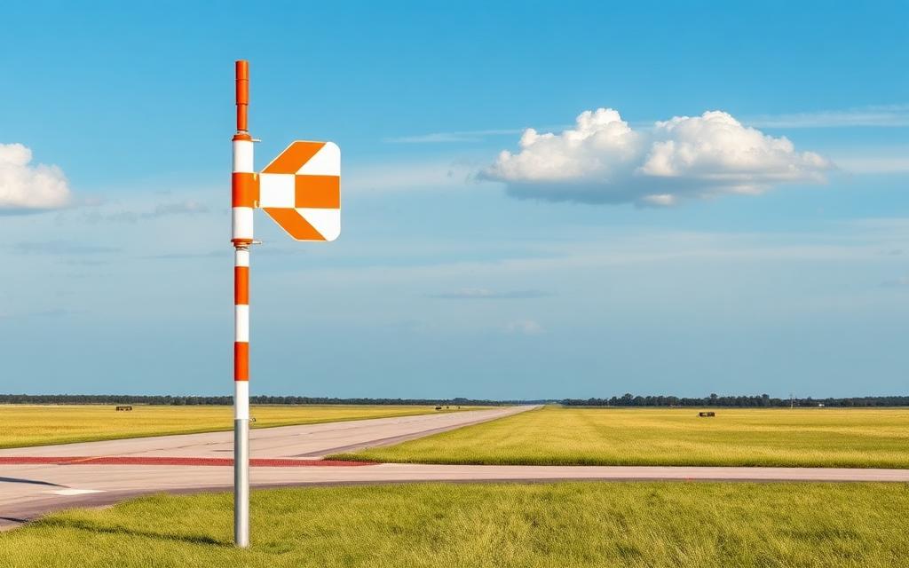
Timaru Airport
IATA TIUICAO NZTUMedium airport
Timaru Airport is a medium airport in Canterbury Region, New Zealand. It is listed as IATA TIU and ICAO NZTU. The airport is located at -44.3028° / 171.2250° at an elevation of 27 m (89 ft). There are 3 runways, the longest measuring 1,280 m. The nearest airport is Timaru Hospital Helipad, 12 km (8 mi) away. The airport is served by scheduled flights.


Data
| IATA code | TIU |
|---|---|
| ICAO code | NZTU |
| Identifier | NZTU |
| Type | Medium airport |
| Region | Canterbury Region |
| Country | New Zealand |
| Coordinates | -44.30280, 171.22501 |
| Coordinates (deg/min/sec) | 44° 18′ 10.08″ S 171° 13′ 30.02″ E |
| Elevation | 27 m (89 ft) |
| Scheduled service | yes |
Travel gear that fits
Automatically selected recommendations for a trip to Timaru Airport – based on climate, location and airport type.
 New Zealand travel guide
The overview for your trip: regions, culture, getting around and practical tips for New Zealand.
View on Amazon New Zealand road map
A printed map for planning – works without signal or battery.
View on Amazon History & culture: New Zealand
Background knowledge that brings a trip to New Zealand to life.
View on Amazon Packable rain jacket
Changeable weather at your destination – windproof, water-repellent and packs down small.
View on Amazon Waterproof dry bag
Boat, seaplane and island transfers: your electronics stay dry.
View on Amazon Microfibre towel
Dries fast, weighs almost nothing – ideal in coastal and island regions.
View on Amazon
Advertising: as an Amazon Associate we earn from qualifying purchases. The price stays the same for you.
Runways
| Runway | Length | Width | Surface | Lighted |
|---|---|---|---|---|
02/20 | 1,280 m | 45 m | Asphalt | yes |
02L/20R | 1,188 m | 60 m | Grass | no |
11/29 | 1,113 m | 90 m | Grass | no |
Links
Nearby airports
- NZTZTimaru Hospital Helipad12 km (8 mi)
- NZ-0100Geraldine23 km (14 mi)
- NZRIRangitata Island Airport29 km (18 mi)
- NZ-0008Cattle Creek Airstrip50 km (31 mi)
- NZWMWaimate Airport55 km (34 mi)
- NZ-0092Anama airstrip58 km (36 mi)
- NZ-0095Ashburton Medical Centre Helipad62 km (38 mi)
- ASGAshburton Airport64 km (40 mi)
- NZTLTekapo Aerodrome71 km (44 mi)
- NZTPTekapo/Mackenzie Heliport73 km (45 mi)
- OAMOamaru Airport75 km (47 mi)
- NZ-0001Mesopotamia Station Airstrip78 km (48 mi)