
Polyarnoye HLS
ICAO UESPHeliport
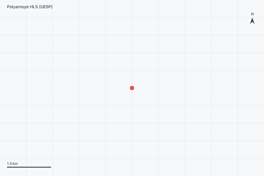
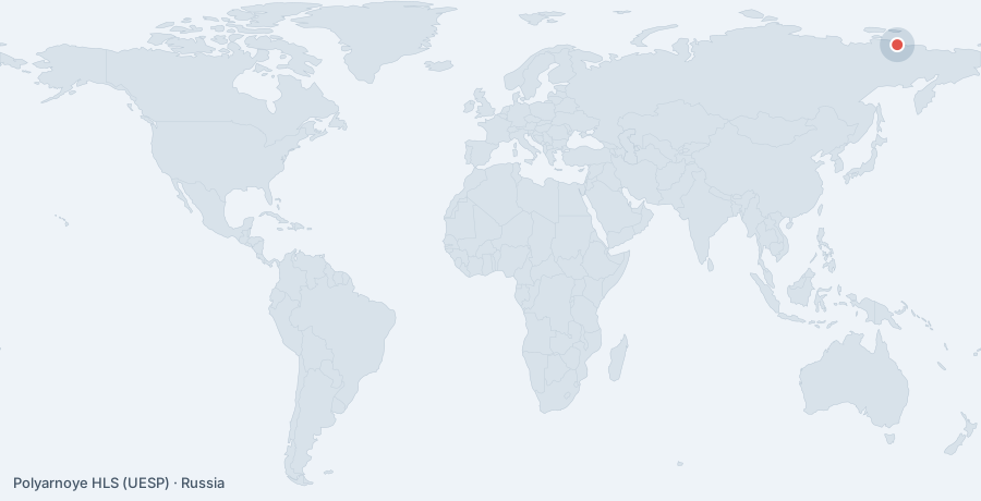
Polyarnoye HLS is a heliport near Polyarnoye in Sakha (Yakutia) Republic, Russia. It is listed as ICAO UESP. The airport is located at 71.1335° / 149.2729° at an elevation of 20 m (66 ft). The nearest airport is Chokurdakh Airport, 76 km (47 mi) away. No scheduled service is recorded for this airfield.

Data
| ICAO code | UESP |
|---|---|
| Identifier | UESP |
| Type | Heliport |
| City | Polyarnoye |
| Region | Sakha (Yakutia) Republic |
| Country | Russia |
| Coordinates | 71.13353, 149.27289 |
| Coordinates (deg/min/sec) | 71° 08′ 00.71″ N 149° 16′ 22.40″ E |
| Elevation | 20 m (66 ft) |
| Scheduled service | no |
Travel gear that fits
Automatically selected recommendations for a trip to Polyarnoye HLS – based on climate, location and airport type.
 Headlamp
Remote places without street lighting – light on your head helps.
View on Amazon Travel adapter C/F
The destination uses socket types C/F at 230 V – the right adapter keeps everything charged.
View on Amazon Russian phrasebook
Russian is the main language at this destination – a phrasebook helps day to day.
View on Amazon Thermal base layer
Cold destination: merino keeps you warm even when damp.
View on Amazon Travel zoom lens
Landscapes and aircraft from afar – a travel zoom covers both.
View on Amazon Travel mosquito net
A lightweight net for simple accommodation in mosquito areas.
View on Amazon
Advertising: as an Amazon Associate we earn from qualifying purchases. The price stays the same for you.
Runways
No runways are recorded for this airfield.