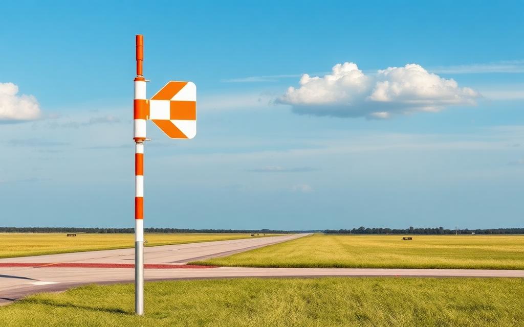
Avery Ranch Airstrip
Small airfield
Avery Ranch Airstrip is a small airfield in California, United States. The airport is located at 41.6294° / -122.4114° at an elevation of 799 m (2,620 ft). There is one runway, the longest measuring 671 m. The nearest airport is Coonrod Ranch Airport, 7.8 km (5 mi) away. No scheduled service is recorded for this airfield.


Data
| Identifier | US-0058 |
|---|---|
| Type | Small airfield |
| Region | California |
| Country | United States |
| Coordinates | 41.62941, -122.41142 |
| Coordinates (deg/min/sec) | 41° 37′ 45.89″ N 122° 24′ 41.10″ W |
| Elevation | 799 m (2,620 ft) |
| Scheduled service | no |
Travel gear that fits
Automatically selected recommendations for a trip to Avery Ranch Airstrip – based on climate, location and airport type.
 California travel guide
Routes, towns and day trips across California.
View on Amazon- United States travel guide
The overview for your trip: regions, culture, getting around and practical tips for United States.
View on Amazon  United States road map
A printed map for planning – works without signal or battery.
View on Amazon Travel adapter A/B
The destination uses socket types A/B at 120 V – the right adapter keeps everything charged.
View on Amazon Spotting binoculars
Identify registrations and types from the fence – bright and handy.
View on Amazon Packable rain jacket
Changeable weather at your destination – windproof, water-repellent and packs down small.
View on Amazon
Advertising: as an Amazon Associate we earn from qualifying purchases. The price stays the same for you.
Runways
| Runway | Length | Width | Surface | Lighted |
|---|---|---|---|---|
16/34 | 671 m | 12 m | grass | no |
Nearby airports
- ROFMontague-Yreka Rohrer Field16 km (10 mi)
- KO46Weed Airport17 km (11 mi)
- SIYSiskiyou County Airport18 km (11 mi)
- US-6222Leese Airport27 km (17 mi)
- US-8962Mercy Medical Center of Mount Shasta Heliport35 km (22 mi)
- KA30Scott Valley Airport38 km (23 mi)
- US-4005Antelope Creek Ranch Airport40 km (25 mi)
- MHSDunsmuir Muni-Mott Airport42 km (26 mi)
- 2CL3Longbell Ranch Airport43 km (27 mi)
- CA09Round Mountain Ranch Airport46 km (28 mi)
- 6CA1Triple R Ranch Airport46 km (29 mi)
- KA32Butte Valley Airport46 km (29 mi)