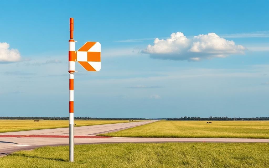
Cal Fire Howard Forest Helitack Base
Heliport
Cal Fire Howard Forest Helitack Base is a heliport near Willits in California, United States. The airport is located at 39.3459° / -123.3164° at an elevation of 596 m (1,954 ft). The nearest airport is Adventist Health Howard Memorial Heliport, 5.2 km (3 mi) away. No scheduled service is recorded for this airfield.


Data
| Identifier | US-3108 |
|---|---|
| Type | Heliport |
| City | Willits |
| Region | California |
| Country | United States |
| Coordinates | 39.34594, -123.31635 |
| Coordinates (deg/min/sec) | 39° 20′ 45.38″ N 123° 18′ 58.86″ W |
| Elevation | 596 m (1,954 ft) |
| Scheduled service | no |
Travel gear that fits
Automatically selected recommendations for a trip to Cal Fire Howard Forest Helitack Base – based on climate, location and airport type.
 California travel guide
Routes, towns and day trips across California.
View on Amazon- United States travel guide
The overview for your trip: regions, culture, getting around and practical tips for United States.
View on Amazon  United States photo book
Large-format photography of landscapes and cities in United States.
View on Amazon Travel adapter A/B
The destination uses socket types A/B at 120 V – the right adapter keeps everything charged.
View on Amazon Packable rain jacket
Changeable weather at your destination – windproof, water-repellent and packs down small.
View on Amazon Travel first-aid kit
A compact kit for minor injuries – belongs in every piece of luggage.
View on Amazon
Advertising: as an Amazon Associate we earn from qualifying purchases. The price stays the same for you.
Runways
No runways are recorded for this airfield.
Links
Nearby airports
- US-0387Adventist Health Howard Memorial Heliport5.2 km (3 mi)
- KO28Ells Field Willits Municipal Airport13 km (8 mi)
- 39CNAdventist Health Ukiah Valley Heliport24 km (15 mi)
- UKIUkiah Municipal Airport26 km (16 mi)
- 1Q5Gravelly Valley Airport33 km (21 mi)
- US-1567Eden Valley Ranch / Albert Seeno Jr Airstrip33 km (21 mi)
- KD83Boonville Airport37 km (23 mi)
- US-7117Clark Ranch Airport39 km (24 mi)
- KLLRLittle River Airport39 km (24 mi)
- US-7118Cal Fire Laytonville Fire Station Heliport42 km (26 mi)
- CN01Mendocino Coast District Hospital Heliport43 km (26 mi)
- FOBFort Bragg Airport43 km (27 mi)