
BCV HLS
Heliport
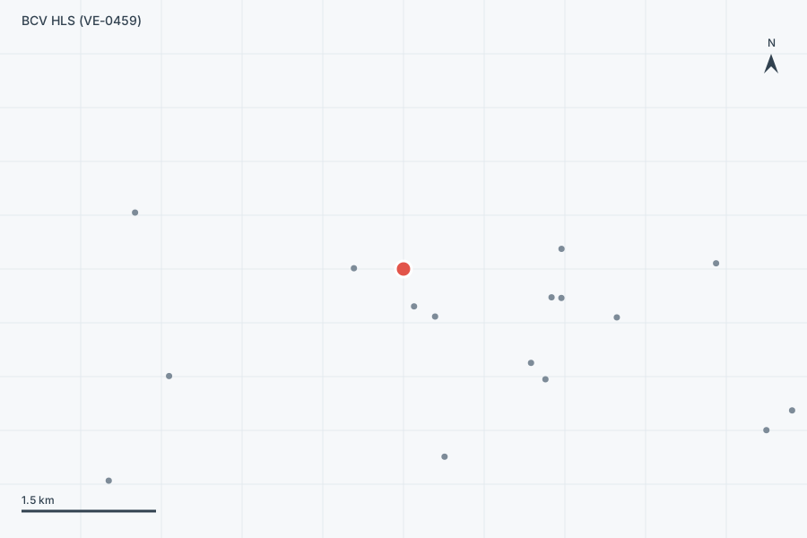
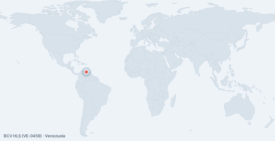
BCV HLS is a heliport near Caracas in Capital District, Venezuela. The airport is located at 10.5082° / -66.9150° at an elevation of 1,065 m (3,494 ft). The nearest airport is BDV Tower Helistop, 0.4 km (0 mi) away. No scheduled service is recorded for this airfield.

Data
| Local code | SVMHG |
|---|---|
| Identifier | VE-0459 |
| Type | Heliport |
| City | Caracas |
| Region | Capital District |
| Country | Venezuela |
| Coordinates | 10.50818, -66.91498 |
| Coordinates (deg/min/sec) | 10° 30′ 29.44″ N 66° 54′ 53.92″ W |
| Elevation | 1,065 m (3,494 ft) |
| Scheduled service | no |
Travel gear that fits
Automatically selected recommendations for a trip to BCV HLS – based on climate, location and airport type.
 Travel adapter A/B
The destination uses socket types A/B at 120 V – the right adapter keeps everything charged.
View on Amazon Travel guide Venezuela
Background on the country and its people around Venezuela – for after you land.
View on Amazon Waterproof dry bag
Boat, seaplane and island transfers: your electronics stay dry.
View on Amazon Insect repellent
Important in tropical regions – protection against bites and transmitted diseases.
View on Amazon Money belt
Documents and cash close to your body – discreet under your clothing.
View on Amazon Polarised sunglasses
Strong glare from sun, sand or snow – polarised lenses help.
View on Amazon
Advertising: as an Amazon Associate we earn from qualifying purchases. The price stays the same for you.
Runways
No runways are recorded for this airfield.
Nearby airports
- VE-0458BDV Tower Helistop0.4 km (0 mi)
- VE-0460Miraflores Heliport0.6 km (0 mi)
- VE-0457Torre Ministerial HLS0.6 km (0 mi)
- VE-0452Torre Mercantil HLS1.7 km (1 mi)
- VE-0455Torre Oeste HLS1.8 km (1 mi)
- VE-0451Hospital de Clínicas Caracas HLS1.8 km (1 mi)
- VE-0453Confinanzas HLS1.8 km (1 mi)
- VE-0147Hotel El Limón Heliport2.0 km (1 mi)
- VE-0456Helicoide Heliport2.1 km (1 mi)
- VE-0454Electricidad de Caracas HLS2.4 km (2 mi)
- VE-0462Hospital Militar Caracas HLS2.9 km (2 mi)
- VE-0461Periférico de Catia HLS3.1 km (2 mi)