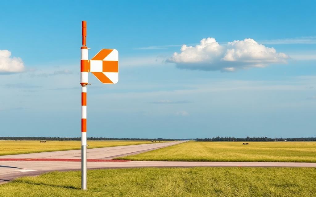
Vila Real Airport
IATA VRLICAO LPVRMedium airport
Vila Real Airport is a medium airport near Vila Real in Vila Real District, Portugal. It is listed as IATA VRL and ICAO LPVR. The airport is located at 41.2743° / -7.7205° at an elevation of 550 m (1,805 ft). There is one runway, the longest measuring 947 m. The nearest airport is CMA Armamar Heliport, 18 km (11 mi) away. The airport is served by scheduled flights.


Data
| IATA code | VRL |
|---|---|
| ICAO code | LPVR |
| Identifier | LPVR |
| Type | Medium airport |
| City | Vila Real |
| Region | Vila Real District |
| Country | Portugal |
| Coordinates | 41.27430, -7.72047 |
| Coordinates (deg/min/sec) | 41° 16′ 27.48″ N 7° 43′ 13.69″ W |
| Elevation | 550 m (1,805 ft) |
| Scheduled service | yes |
Travel gear that fits
Automatically selected recommendations for a trip to Vila Real Airport – based on climate, location and airport type.
 Vila Real travel guide
Sights, neighbourhoods and tips for Vila Real – ideal for your arrival.
View on Amazon Portugal travel guide
The overview for your trip: regions, culture, getting around and practical tips for Portugal.
View on Amazon Portuguese phrasebook
The essential phrases in Portuguese – for taxis, hotels and restaurants.
View on Amazon Travel adapter C/F
The destination uses socket types C/F at 230 V – the right adapter keeps everything charged.
View on Amazon Spotting binoculars
Identify registrations and types from the fence – bright and handy.
View on Amazon Packable rain jacket
Changeable weather at your destination – windproof, water-repellent and packs down small.
View on Amazon
Advertising: as an Amazon Associate we earn from qualifying purchases. The price stays the same for you.
Runways
| Runway | Length | Width | Surface | Lighted |
|---|---|---|---|---|
02/20 | 947 m | 30 m | Asphalt | yes |
Links
Nearby airports
- PT-0154CMA Armamar Heliport18 km (11 mi)
- PT-0125Corvachã Ultralight Airfield22 km (14 mi)
- PT-0051Lamego Hospital Heliport22 km (14 mi)
- PT-0126Pista do Minhéu30 km (18 mi)
- PT-0020Aerodromo de Cabeceiras de Basto UL38 km (24 mi)
- PT-0003Fafe heliport40 km (25 mi)
- LPMIMirandela Airfield47 km (29 mi)
- LPMDMirandela Hospital Heliport50 km (31 mi)
- LPPAPadre Américo Hospital Helipad50 km (31 mi)
- PT-0148Aguiar da Beira Heliport53 km (33 mi)
- LPCHAerodromo de Chaves54 km (34 mi)
- LPPBBaltar Heliport56 km (35 mi)