Mathilda Batlayeri Airport
IATA SXKICAO WAPSSmall airfield
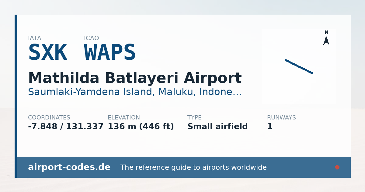
Mathilda Batlayeri Airport is a small airfield near Saumlaki-Yamdena Island in Maluku, Indonesia. It is listed as IATA SXK and ICAO WAPS. The airport is located at -7.8484° / 131.3371° at an elevation of 136 m (446 ft). There is one runway, the longest measuring 2,000 m. The nearest airport is Saumlaki/Olilit Airport, 16 km (10 mi) away. The airport is served by scheduled flights.


Data
| IATA code | SXK |
|---|---|
| ICAO code | WAPS |
| Identifier | WPAS |
| Type | Small airfield |
| City | Saumlaki-Yamdena Island |
| Region | Maluku |
| Country | Indonesia |
| Coordinates | -7.84835, 131.33707 |
| Coordinates (deg/min/sec) | 7° 50′ 54.07″ S 131° 20′ 13.44″ E |
| Elevation | 136 m (446 ft) |
| Scheduled service | yes |
Travel gear that fits
Automatically selected recommendations for a trip to Mathilda Batlayeri Airport – based on climate, location and airport type.
 Waterproof dry bag
Boat, seaplane and island transfers: your electronics stay dry.
View on Amazon Microfibre towel
Dries fast, weighs almost nothing – ideal in coastal and island regions.
View on Amazon Packable rain jacket
Changeable weather at your destination – windproof, water-repellent and packs down small.
View on Amazon Indonesian phrasebook
Indonesian is the main language at this destination – a phrasebook helps day to day.
View on Amazon Travel adapter C/F
The destination uses socket types C/F at 230 V – the right adapter keeps everything charged.
View on Amazon Insect repellent
Important in tropical regions – protection against bites and transmitted diseases.
View on Amazon
Advertising: as an Amazon Associate we earn from qualifying purchases. The price stays the same for you.
Runways
| Runway | Length | Width | Surface | Lighted |
|---|---|---|---|---|
11/29 | 2,000 m | 45 m | Asphalt | no |