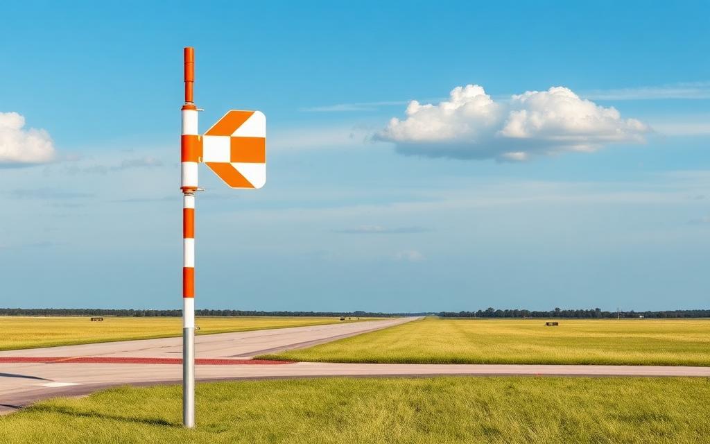
Kwande Airstrip
Small airfield
Kwande Airstrip is a small airfield in Eastern Cape, South Africa. The airport is located at -33.1340° / 26.5819°. The nearest airport is Grahamstown Airport, 19 km (11 mi) away. No scheduled service is recorded for this airfield.


Data
| Identifier | ZA-0240 |
|---|---|
| Type | Small airfield |
| Region | Eastern Cape |
| Country | South Africa |
| Coordinates | -33.13396, 26.58194 |
| Coordinates (deg/min/sec) | 33° 08′ 02.27″ S 26° 34′ 54.97″ E |
| Scheduled service | no |
Travel gear that fits
Automatically selected recommendations for a trip to Kwande Airstrip – based on climate, location and airport type.
 Eastern Cape travel guide
Routes, towns and day trips across Eastern Cape.
View on Amazon- South Africa travel guide
The overview for your trip: regions, culture, getting around and practical tips for South Africa.
View on Amazon  South Africa road map
A printed map for planning – works without signal or battery.
View on Amazon Travel adapter M/C
The destination uses socket types M/C at 230 V – the right adapter keeps everything charged.
View on Amazon Spotting binoculars
Identify registrations and types from the fence – bright and handy.
View on Amazon Polarised sunglasses
Strong glare from sun, sand or snow – polarised lenses help.
View on Amazon
Advertising: as an Amazon Associate we earn from qualifying purchases. The price stays the same for you.
Runways
No runways are recorded for this airfield.
Nearby airports
- FAGTGrahamstown Airport18 km (11 mi)
- ZA-0117Pumba Helipad32 km (20 mi)
- ZA-0116Pumba Airstrip36 km (22 mi)
- FAFOFort Beaufort Airport38 km (24 mi)
- AFDPort Alfred Airport54 km (34 mi)
- FAKXKenton-on-Sea Airport60 km (37 mi)
- ZA-0231SHAMWARI61 km (38 mi)
- ZA-0303Fort D'Acre Reserve Airport63 km (39 mi)
- BIYBisho Airport70 km (44 mi)
- FAHFHenrys Flats Airport81 km (50 mi)
- FACHCookhouse Airport85 km (53 mi)
- ZA-0313Kinkelbos Heliport87 km (54 mi)